Ever wondered why some countries have strange-looking borders that twist, turn, or even split in odd ways? 🌍 Well, geography plays a huge role in that. From towering mountains to long rivers, from deserts to forests, the Earth’s natural features have shaped how humans divided land and formed nations.
Borders are not just lines drawn on maps—they represent history, culture, politics, and yes, geography. Let’s explore how our planet’s geography defines these international borders and often sparks disputes between nations.
The Meaning of Borders
Borders are boundaries that separate one country from another. They mark where one nation’s power ends and another begins. But they’re not always peaceful lines. Sometimes they come from centuries of wars, treaties, and even natural obstacles.
There are mainly two kinds of borders:
-
Natural borders – formed by mountains, rivers, or seas.
-
Artificial borders – drawn by humans, often through treaties or colonization.
While natural borders seem fair and easy to agree on, that’s not always the case. Rivers can change their courses. Mountains may hide valuable resources. That’s when disputes begin.
How Geography Shapes Borders
Let’s break down how specific geographical features influence borders:
| Geographical Feature | Example | Impact on Borders |
|---|---|---|
| Mountains 🏔️ | Himalayas between India and China | Hard to cross; act as natural barriers |
| Rivers 🌊 | Rio Grande between USA and Mexico | Provide water sources but can shift over time |
| Deserts 🏜️ | Sahara Desert dividing North Africa | Create wide, empty buffer zones |
| Forests 🌲 | Amazon between Brazil and neighbors | Difficult to patrol; disputes over land usage |
| Seas and Oceans 🌊 | English Channel between UK and France | Natural division for maritime boundaries |
So, geography doesn’t just create borders—it defines how easy or difficult it is to defend, cross, or even argue over them.
Mountains: The Earth’s Natural Walls
Mountains have always been one of nature’s best defenses. They make it tough for armies to invade and hard for people to cross. For example, the Himalayas have long separated India and China, acting as a barrier between two massive civilizations.
Similarly, the Andes Mountains help mark the border between Chile and Argentina. Both countries agreed on the natural ridge lines that the Andes create, but disputes still arise when glaciers melt or when new routes open up.
It’s interesting—mountains are often called “God’s borders” because humans rarely had to draw them; they were already there.
Rivers: The Lifelines That Divide
Rivers are tricky when it comes to borders. They provide water, trade routes, and fertile land, but they also shift their paths due to erosion or floods.
Take the Rio Grande, for instance. It separates the United States and Mexico, but over the years, its course has changed, creating confusion about where the actual border lies.
In Africa, the Nile River flows through several countries. While it’s a source of life, it’s also the root of disputes about who controls its water.
So, when rivers move, they don’t just move water—they move power and property lines too.
Deserts: The Empty Dividers
Deserts may look lifeless, but they’re powerful border markers. For example, the Sahara Desert divides North Africa from Sub-Saharan Africa, acting as a natural wall that shaped cultures, trade, and even languages.
However, deserts also hide valuable resources like oil and minerals, making them hot spots for territorial claims. The Western Sahara is a prime example—a vast desert where Morocco and the Sahrawi people continue to fight over control.
So, even empty lands can spark serious political debates.
Oceans and Seas: The Invisible Borders
You might think oceans make things simple, but they don’t. Countries often fight over maritime borders to control fishing zones, trade routes, and underwater oil reserves.
The South China Sea dispute is one of the most famous examples. Several countries, including China, Vietnam, and the Philippines, claim overlapping parts of the sea because of its strategic importance and rich resources.
Geography under the water can be just as controversial as on land! 🌊
Forests and Jungles: The Hidden Boundaries
Dense forests can act as natural dividers too. The Amazon rainforest separates Brazil from Peru, Colombia, and other nations. But because these forests are thick and hard to navigate, the exact borderlines are sometimes unclear.
Smuggling, illegal logging, and land occupation often happen in these regions. It’s hard to patrol every corner of a rainforest, after all! 🌳
Colonial Borders and Geography
One of the biggest mistakes in modern history was how colonial powers ignored geography while drawing borders.
In Africa and the Middle East, European colonizers like Britain and France used straight lines to divide territories—without caring about ethnic groups, tribal lands, or natural features.
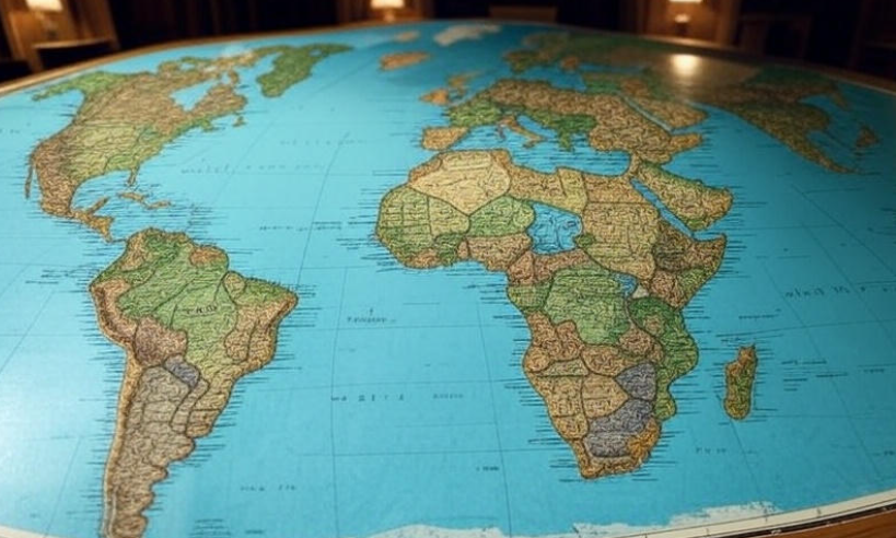
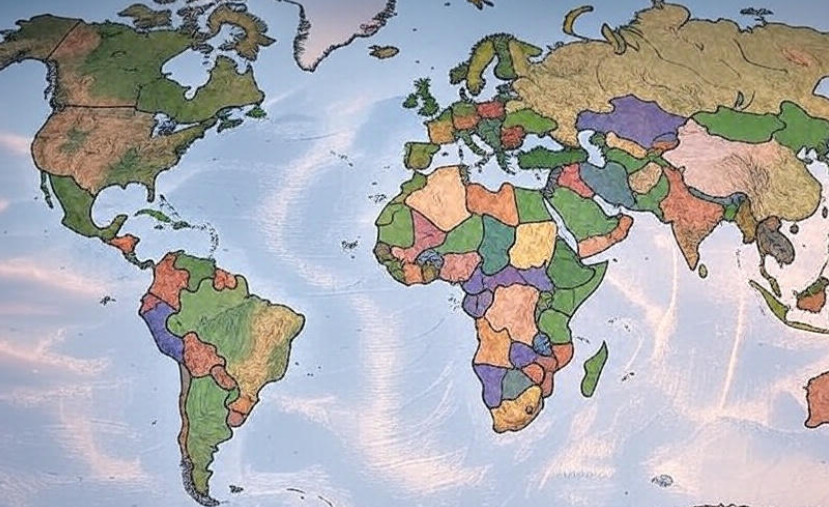
Look at Africa’s map: you’ll see many straight lines cutting across the continent. Those lines have caused countless disputes, wars, and migrations. Geography was overlooked, and people paid the price.
-
🌋 Read next: How Volcanoes Form and Why They Erupt
Case Study: India and Pakistan
When India was divided in 1947, the border—called the Radcliffe Line—was drawn in a hurry. It cut through villages, rivers, and even families.
The Kashmir region remains a disputed area today. Its geography—mountains, rivers, and glaciers—makes it both strategic and difficult to define.
Even decades later, both nations continue to claim the region, proving that when geography and politics collide, peace becomes fragile.
Case Study: The Israel-Palestine Conflict
Another example is the Israel-Palestine issue. Geography plays a key role here—especially with land like the West Bank and Gaza Strip.
Both regions hold deep religious, cultural, and historical importance. However, geography makes the dispute even more complex, as small areas of land carry huge meaning and value for both sides.
Case Study: The Russia-Ukraine Border
The conflict between Russia and Ukraine also has geographical roots. The Crimean Peninsula, surrounded by the Black Sea, is strategically vital for trade and defense. That’s why both nations claim it.
The area’s geography—access to warm water ports and military advantage—makes it a flashpoint for global tension.
Climate Change and Future Border Disputes
Here’s something to think about 🤔: What happens when geography changes?
With climate change, glaciers are melting, rivers are shifting, and sea levels are rising. Islands may disappear, and new land could emerge.
For example, melting glaciers in the Himalayas could affect the rivers that form borders between China, India, and Bangladesh. Similarly, small island nations in the Pacific are worried that rising seas might erase their territory altogether.
In the future, climate-driven border disputes could become the next big global challenge.

Why Borders Create Disputes
Let’s summarize why disputes occur even when geography defines the borders:
| Cause of Dispute | Explanation | Example |
|---|---|---|
| Natural Changes | Rivers or glaciers shift over time | Rio Grande, India-China border |
| Resource Control | Oil, minerals, water, or fishing rights | South China Sea, Western Sahara |
| Colonial History | Poorly drawn lines ignoring ethnic/geographic realities | African borders |
| Strategic Importance | Military or trade advantages | Crimea, Kashmir |
| National Identity | Cultural or historical claims | Israel-Palestine |
Borders are more than geography—they are emotional, political, and economic boundaries that nations defend fiercely.
The Role of Technology in Defining Borders
Today, satellite mapping and GPS systems help define borders more accurately than ever. Advanced technology lets countries measure precise coordinates, even in remote mountains or deep forests.
However, technology doesn’t erase disputes—it only clarifies where they occur!
Still, it’s amazing to think that with a few satellites orbiting Earth, we can now trace every hill, river, and coastline to the exact meter. 🛰️
The Human Side of Borders
Borders may be political, but they affect real people. Families get divided. Farmers lose land. Refugees cross dangerous zones seeking safety.
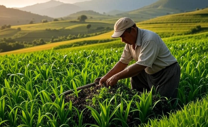
For locals living near borders, geography isn’t just a concept—it’s their daily reality. Whether it’s snow in the Himalayas or sand in the Sahara, the land defines their lives, and sometimes, their destiny.
A Look into the Future 🌏
In the coming decades, we may see:
-
More maritime disputes as nations explore underwater oil reserves.
-
Climate refugees moving across melting or sinking borders.
-
New digital borders as cyberspace becomes as important as physical space.
Geography will continue to shape human conflict and cooperation. After all, we live on one planet, but we keep drawing lines on it.
Quick Summary Table
| Key Idea | Example | Effect on Borders |
|---|---|---|
| Mountains | Himalayas | Natural defense, limited access |
| Rivers | Nile, Rio Grande | Shift over time, water disputes |
| Deserts | Sahara | Sparse population, resource competition |
| Oceans | South China Sea | Trade, oil, maritime claims |
| Colonization | Africa | Artificial borders, ethnic conflicts |
| Climate Change | Arctic, Pacific Islands | New disputes due to melting ice or rising seas |
FAQs
1. Why are some borders straight while others are irregular?
Straight borders are often artificial, drawn by colonial powers or through treaties. Irregular ones usually follow natural features like mountains or rivers.
2. How does geography cause border conflicts?
Geography determines where valuable resources lie and how easy an area is to defend. When these factors overlap, nations tend to disagree.
3. Can borders change over time?
Yes! Natural changes like river shifts or political changes like wars and treaties can alter borders.
4. What’s the difference between natural and artificial borders?
Natural borders are created by physical geography (like rivers or mountains), while artificial ones are made by humans, often without regard for nature.
5. Will climate change affect borders?
Definitely. Rising sea levels, melting glaciers, and shifting landscapes could redraw maps in the future.
Final Thoughts 💭
Geography is more than just mountains, rivers, and valleys—it’s the invisible hand that guides how humans divide the world. Every border tells a story of survival, strategy, and identity.
From the icy peaks of the Himalayas to the sandy stretches of the Sahara, geography continues to shape not just maps—but history itself. 🌍