The Middle East — a name that immediately brings to mind deserts, oil fields, ancient cities, and endless history. 🌍 But beyond the stereotypes, this region is a fascinating puzzle of geography, cultures, and contrasts. Understanding its geography isn’t just about looking at maps. It’s about seeing how land, water, and people shape the story of this extraordinary region.
Where exactly is the Middle East?
This question seems simple, but the answer can get a little tricky. The Middle East isn’t an official continent or a clearly marked area on a map. It’s more of a cultural and geopolitical region that bridges Asia, Africa, and Europe.
Most people include countries like Saudi Arabia, Iran, Iraq, Israel, Jordan, Syria, Lebanon, Turkey, Yemen, Oman, Kuwait, Bahrain, Qatar, and the United Arab Emirates. Some definitions also include Egypt (in North Africa) and Afghanistan (in South Asia).
In simple words, the Middle East is the meeting point of three continents — Asia, Africa, and Europe — and that’s what makes it so special.
| Region | Countries Commonly Included | Location Type |
|---|---|---|
| Arabian Peninsula | Saudi Arabia, Yemen, Oman, UAE, Qatar, Kuwait, Bahrain | Southwest Asia |
| Levant | Israel, Jordan, Lebanon, Syria, Palestine | Eastern Mediterranean |
| Mesopotamia | Iraq, parts of Syria, Turkey, Iran | Between Tigris and Euphrates |
| North Africa | Egypt (sometimes included) | Africa |
| Anatolia | Turkey | Bridge between Europe and Asia |
The Landforms That Define the Middle East
When you imagine the Middle East, deserts probably come first — and you’re right. 🌵 But there’s more variety than many people realize.
-
The Arabian Desert stretches across Saudi Arabia, one of the largest sand deserts in the world.
-
The Syrian Desert connects parts of Syria, Iraq, and Jordan.
-
The Rub’ al Khali, also known as the Empty Quarter, is so vast and dry that few humans live there.
But then, there are mountains too — the Zagros Mountains in Iran, the Taurus Mountains in Turkey, and Mount Sinai in Egypt. These mountains not only shape the land but also influence the weather and river systems.
And yes, there are rivers — ancient ones that gave birth to human civilization. The Tigris and Euphrates Rivers flow through Iraq, forming Mesopotamia, known as the “Cradle of Civilization.” Without these rivers, cities like Babylon or Ur might never have existed.
Climate and Weather Patterns
The Middle East is mostly dry, but it’s not all scorching heat.
Here’s a quick breakdown 👇
| Climate Type | Regions | Key Features |
|---|---|---|
| Desert Climate | Saudi Arabia, UAE, Egypt | Hot days, cold nights, little rain |
| Mediterranean Climate | Lebanon, Israel, coastal Turkey | Mild winters, warm summers |
| Mountain Climate | Iran, Turkey, northern Iraq | Cooler temperatures, snowfall possible |
| Semi-arid | Jordan, Syria | Some rain, but still dry |
The lack of rainfall and extreme heat make water one of the most valuable resources in the region. This scarcity has influenced settlement patterns, agriculture, and even political relationships.
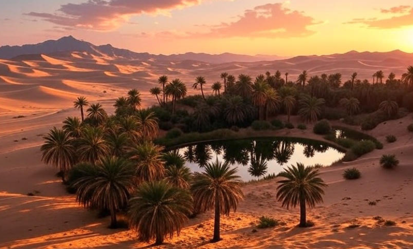
Water: The Real Treasure of the Middle East 💧
People often think oil is the Middle East’s greatest treasure. But ask anyone living there — and they’ll tell you water is even more precious.
Because most of the region is desert, rivers, and underground aquifers are life-giving. Countries like Israel and Saudi Arabia have invested billions in desalination plants to turn seawater into drinking water.
Some areas, like the Nile River Valley in Egypt, rely completely on rivers for farming. Others use oases and underground water wells to survive. The geography has taught the people of this region to be resourceful, turning dry lands into fertile fields through innovation and technology.
Natural Resources and Economic Geography
If water is life, oil is power in the Middle East. The discovery of oil in the early 20th century changed everything. ⛽
Countries like Saudi Arabia, Kuwait, Iran, Iraq, and the UAE have some of the largest oil reserves in the world. This wealth transformed small desert communities into modern cities like Dubai, Doha, and Riyadh.
| Country | Major Natural Resources | Economic Focus |
|---|---|---|
| Saudi Arabia | Oil, natural gas | Energy, petrochemicals |
| UAE | Oil, tourism, trade | Diversified economy |
| Iran | Oil, minerals | Energy, manufacturing |
| Qatar | Natural gas | Energy exports |
| Israel | Natural gas, technology | Tech and innovation |
However, this dependence on oil also makes the region sensitive to global market changes. That’s why many countries are now focusing on economic diversification — building industries like tourism, technology, and renewable energy.
Geography and Culture: A Deep Connection
The geography of the Middle East is tightly linked to its culture and way of life. 🕌
Nomadic tribes once moved across deserts with camels, following rainfall and grass for their herds. Ancient farmers settled near rivers like the Nile and Euphrates. Traders traveled along routes that connected Asia and Europe — routes that became the famous Silk Road.
Even today, you can see how geography has shaped traditions. Desert hospitality, architecture designed to stay cool, and clothing suited for the sun — all these reflect the region’s adaptation to its environment.

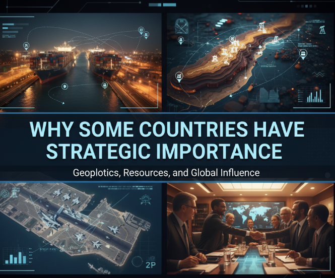
Strategic Importance of the Middle East
Because of its location, the Middle East has always been a strategic crossroads. It connects East and West, and borders vital waterways like the Suez Canal, the Persian Gulf, and the Strait of Hormuz.
Control over these passages has been crucial for trade and global politics. For example, the Suez Canal in Egypt links the Mediterranean Sea to the Red Sea — saving ships thousands of kilometers of travel.
In short, whoever understands the geography of the Middle East understands global trade, politics, and history.
Biodiversity and the Environment
Despite the harsh conditions, the Middle East hosts surprising biodiversity.
You’ll find date palms, acacia trees, Arabian oryx, camels, desert foxes, and more. 🌴🦊 However, urbanization, oil exploration, and climate change are threatening this delicate balance.
Countries are now working on conservation projects, such as protected desert reserves, reforestation, and wildlife rehabilitation centers. These efforts show how geography isn’t just about land — it’s about how people choose to live with it.
Urbanization and Modern Landscapes
Cities like Dubai, Doha, and Riyadh have transformed the desert landscape. Skyscrapers rise where once there were sand dunes. This rapid urban growth has created both opportunities and challenges — such as heat management, pollution, and sustainability.
Some countries are experimenting with futuristic city designs — like NEOM in Saudi Arabia, a proposed smart city that will run entirely on renewable energy. ⚡
These cities show how geography, technology, and human ambition can work together to create new environments.
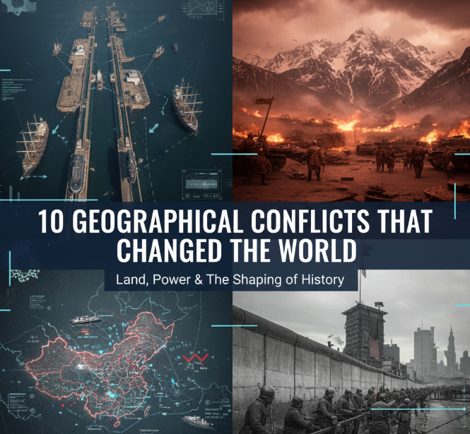
How Geography Influences Conflicts
Unfortunately, the same geography that makes the Middle East rich in resources also makes it a zone of conflict.
Control over water, oil fields, and strategic routes often fuels disputes. For example:
-
Border tensions between Turkey, Syria, and Iraq over water from the Tigris and Euphrates.
-
Disagreements in the Persian Gulf over oil drilling rights.
-
The importance of the Suez Canal and Strait of Hormuz in global politics.
In this way, geography continues to play a key role in shaping political realities.
A Region of Endless Contrast
From the snowy peaks of Turkey to the sandy dunes of Saudi Arabia, from the fertile valley of the Nile to the futuristic skyline of Dubai — the Middle East is full of contrasts.
It’s a place where ancient and modern, desert and sea, tradition and innovation all exist side by side. Understanding its geography helps us appreciate not only the land itself but also the people who have called it home for thousands of years.
FAQs About the Geography of the Middle East
1. Why is the Middle East called the “Middle East”?
Because it lies between the “Far East” (Asia) and the “Near East” (Europe). The term became popular during British colonial times.
2. Which are the major rivers in the Middle East?
The Tigris, Euphrates, Jordan, and Nile are the most important rivers in the region.
3. Is the Middle East only desert?
No, while deserts dominate, there are also mountains, fertile valleys, and coastal plains with different climates.
4. Why is water so important in the Middle East?
Because the region has very low rainfall and limited freshwater resources, water determines where people can live and farm.
5. Which Middle Eastern countries are the richest in natural resources?
Mainly Saudi Arabia, Qatar, Kuwait, Iran, and the UAE, due to their massive oil and gas reserves.
6. What makes the Middle East geographically unique?
Its position as a bridge between continents, its diverse landforms, and its mix of ancient and modern cultures make it truly unique.
🌏 Final Thoughts
Understanding the geography of the Middle East isn’t just about memorizing maps — it’s about seeing how nature, history, and human creativity blend together. The land tells a story of survival, power, and progress. From the deserts to the seas, the Middle East remains one of the most fascinating regions on Earth, where geography truly meets destiny. ✨